
Three villages, one mountain
The Vall de Laguar: Campell, Fleix and Benimaurell
The Vall de Laguar is a single municipality made of three villages stacked up one mountainside: Campell at the bottom, Fleix in the middle, Benimaurell at the top. It sits at about 437 metres in the upper valley of the riu Girona, has some 843 inhabitants, and is best known for the Barranc de l'Infern — over six thousand stone steps, laid five centuries ago.
- The three villages
- Campell (lower), Fleix (middle), Benimaurell (upper)
- Altitude
- About 437 metres
- Inhabitants
- Around 843
- The name
- From the Arabic Al-Agwar, 'the caves'
- The walk
- Barranc de l'Infern, PR-CV 147, roughly 14 km
- Grown here
- Cherries, almonds, olives
- From the coast
- About 40 minutes by road from Dénia
What are the three villages of the Vall de Laguar?
Campell, Fleix and Benimaurell — one municipality, three villages, climbing the same mountainside in that order. Locally they are still called Poble de Baix, Poble d'Enmig and Poble de Dalt: the lower, the middle and the upper village. Benimaurell is the highest and has the widest view down the valley.
The whole municipality has around 843 inhabitants across 23 square kilometres, which tells you most of what you need to know about how busy it is.
What are the stone terraces on the hillsides?
Dry-stone terraces, built without mortar, holding soil on slopes that would otherwise wash away. They carry almonds, olives and above all cherries — the Laguar cherry is the thing people here are proudest of, and the trees turn the valley white in early spring.
This is not decorative landscape. Dry-stone walling is on the UNESCO list of intangible cultural heritage, and in this valley it is still the reason anything grows on a slope at all.
What is the Barranc de l'Infern?
A circular walking route of roughly fourteen kilometres through the gorge the riu Girona cut into the mountain, with more than six thousand stone steps laid by the morisco inhabitants over five hundred years ago. Its nickname is la Catedral del Senderisme, the cathedral of hiking, and it is signed as PR-CV 147 from the parking at Fleix.
Be honest with yourself about it. This is a full, hard day: six thousand steps down and six thousand back up, no water on the route, and no shortcut once you are in the gorge. People underestimate it every summer.
Why is there so much history in such a small valley?
Because of what happened here in 1609. When Felipe III signed the order expelling the moriscos on 22 September of that year, thousands of them from Ebo, Gallinera, Guadalest and beyond gathered in this valley and refused to go. They held out on the ridge of the Cavall Verd, at 800 metres, for eight days without food or water before surrendering and being marched to the port of Dénia.
The valley was then repopulated from Mallorca: sixty-nine islanders under a charter of 14 June 1611, from Artà, Manacor, Llucmajor and Petra. Their surnames — Ballester, Moll, Mas, Mengual — are still on the doorbells.
Where is the best view?
Benimaurell, the top village. From there the whole valley opens up below you, with the Cavall Verd ridge on one side and the terraces stepping down towards Fleix.
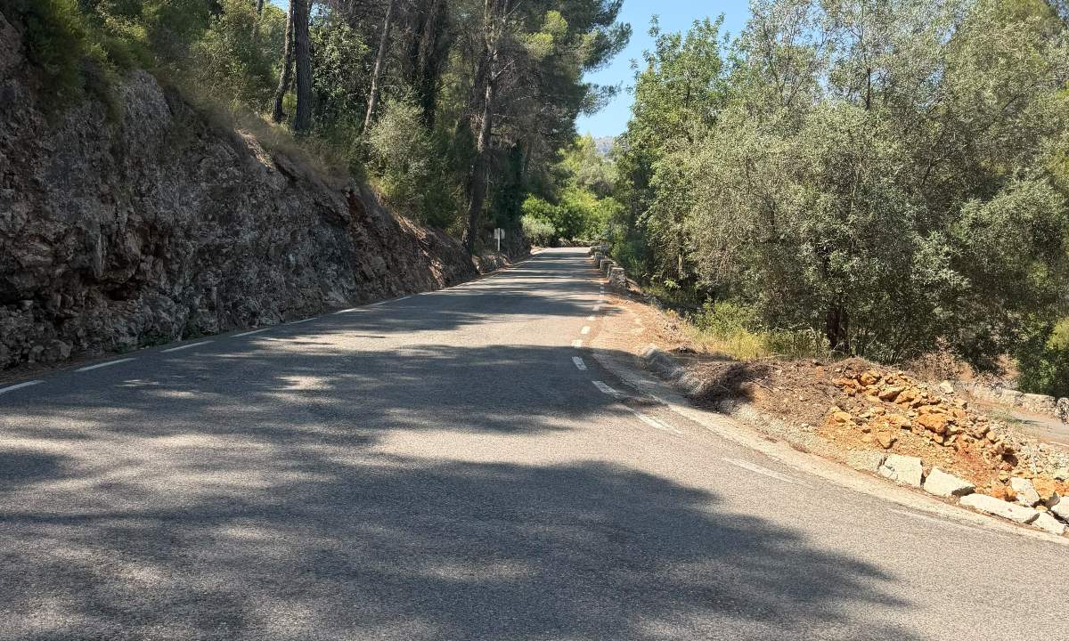
The road up is the other half of the answer. It is a narrow mountain road with real bends and a drop on one side, and it is genuinely one of the best short rides in the Marina Alta. Which is why our Laguar Experience goes up it rather than around it.
What is there to eat?
Mountain food, not coastal food. Cured sausage — morcilla, longaniza, sobrasada — cocas, and arroz caldoso with beans and cardoon. For afterwards there are ronyoses, a local sweet made of almond and sugar.
There are only a handful of places to eat in the three villages together, and on a Sunday in season you want to have called ahead.
Questions people ask
Do I need to be a hiker to enjoy the Vall de Laguar?
No. The Barranc de l'Infern is a serious walk, but the villages, the terraces and the view from Benimaurell are all reachable by road. You can see the best of the valley without walking six thousand steps.
When do the cherry trees blossom?
Usually in the second half of March, though it shifts a couple of weeks either way depending on the winter. The cherries themselves are picked from late May.
Is the road up to Benimaurell difficult?
It is narrow, it bends, and it has a drop on one side without a barrier. It is well surfaced and quiet. If heights make you uncomfortable, this is worth knowing before you set off.
How far is it from the coast?
About forty minutes by road from Dénia, and rather less from Pego. There is no public transport worth planning around.
Last checked on .
See the valley from a Vespa
Up through Campell and Fleix to Benimaurell, with lunch looking out over the whole valley.
See the Vall de Laguar Experience